To walk into nature is to witness a thousand miracles. ~Mary Davis
Nine trails traverse the Park and offer a variety of natural environments from beaches and mud flats to old farm fields and wooded uplands. Explore Holbrook Island Sanctuary’s habitats.
Click on any or all of the links below to enhance your hiking experience.
Animal Tracks Guide (1) (PDF)
Animal Tracks Guide (2) (PDF)
Bird List (PDF)
Fresh Pond Sites (PDF)
Trail Map (PDF)
-

Aaron Trail
Moderately strenuous hike through woods and old homestead fields to Fresh Pond. Some steep grades 1.8 miles, 1 to 1-1/2 hours. Parking at trail head. You can see this trail from Cape Rosier Rd.
44°21'10.8"N 68°46'45.1"W
-

Backshore Trail
Easy walk through old estate fields to shore spur to location of Hutchins estate ruins 0.7 miles, 30 to 35 minutes. Parking lot on Indian Bar Road.
44°21'30.4"N 68°48'01.4"W
-

Bakeman Farm Trail
Easy walk from the Cape Rosier Road to the Bakeman foundation through the fields to the beaver flowage and back to the Cape Rosier road. 0.6 miles, 25 to 35 minutes.
44°20'03.4"N 68°47'10.0"W
-

Beaver Flowage Trail
Easy walk through open woods, around the beaver flowage, along the Back road. Parking lots at both ends. 1.5 miles, 45 minutes to 1 hour.
44°21'35.6"N 68°48'00.0"W
-

Fresh Pond Trail
Easy walk through woods to and around Fresh Pond. 1.4 miles, 1 3/4 to 2 hours. Parking lot on Otis Gray Road.
44°20'38.8"N 68°46'58.7"W
-

Goose Falls Trail
Easy to moderate walk along the shoreline between the dock area parking lot and Goose Falls. 1 mile, 35 to 45 minutes.
44°21'16.8"N 68°48'32.1"W
-

Iceworks Trail
Moderate walk through woods to Fresh Pond. 2 miles, 1-1/2 to 1-3/4 hours. Parking at trail head.
44°21'31.3"N 68°47'32.6"W
-

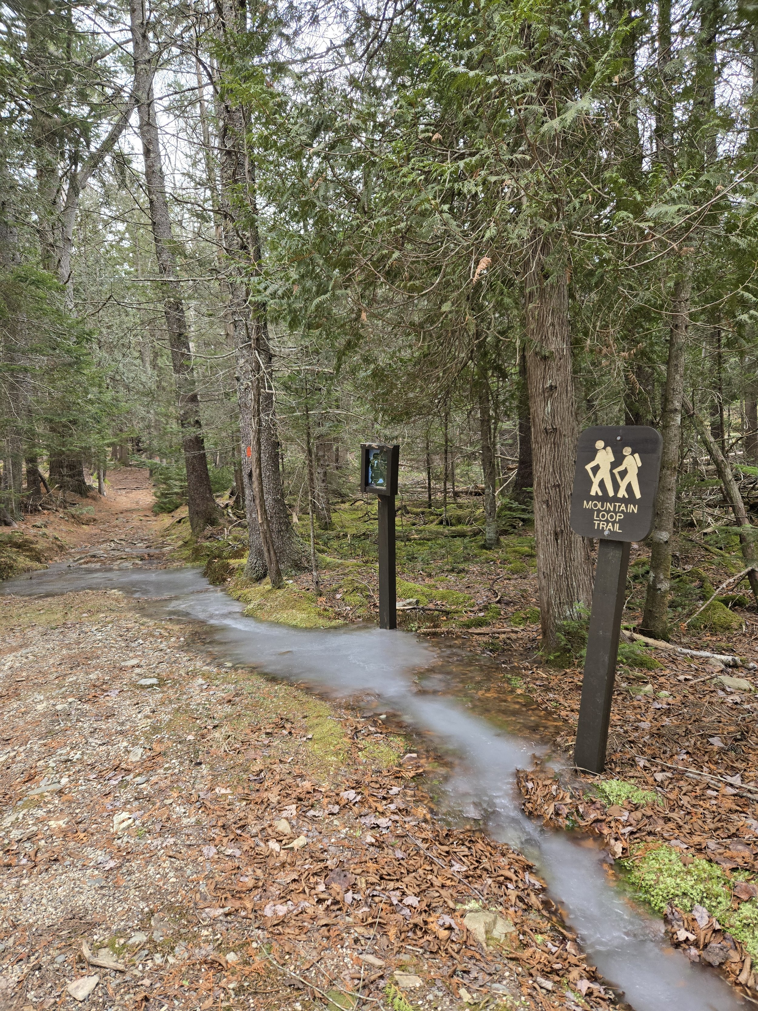
Mountain Loop Trail
Easy to moderate. 1.7 miles, 1-1/2 to 2 hours. Parking at trail head.
44°21'30.8"N 68°47'29.3"W
-
Northeast Creek Trail
Proposed connection from Fresh Pond to Beaver Flowage Trails
-

Summit Trail
Short, steep hike, up wooded mountain with scenic coastal views. Trail continues southeast to rejoin Mountain Loop near Connector junction. 1.1 miles, 1 to 1-1/2 hours. Parking at trail head.
44°21'30.9"N 68°47'27.6"W

